Liskeard Walks Around Town and Nearby
The ancient market town of Liskeard is an excellent base for walkers, being situated midway between the coast and the moors. Liskeard has a Heritage Trail and a selection of circular walks that lead from the town into the picturesque surrounding countryside. Each walk begins from one of the granite plinths, situated at various points around the town and has an accompanying printed leaflet available from the town information centre – or download the PDFs here.
South East Cornwall offers the walker so much choice, from stunning cliff walks to dramatic walks on Bodmin Moor. Whichever way you walk, within a few miles of Liskeard you’ll be met with a hugely varied range of landscapes – from ancient wooded valleys and gentle meadows to pretty fishing villages and thousands of years of history dating back to Neolithic times.
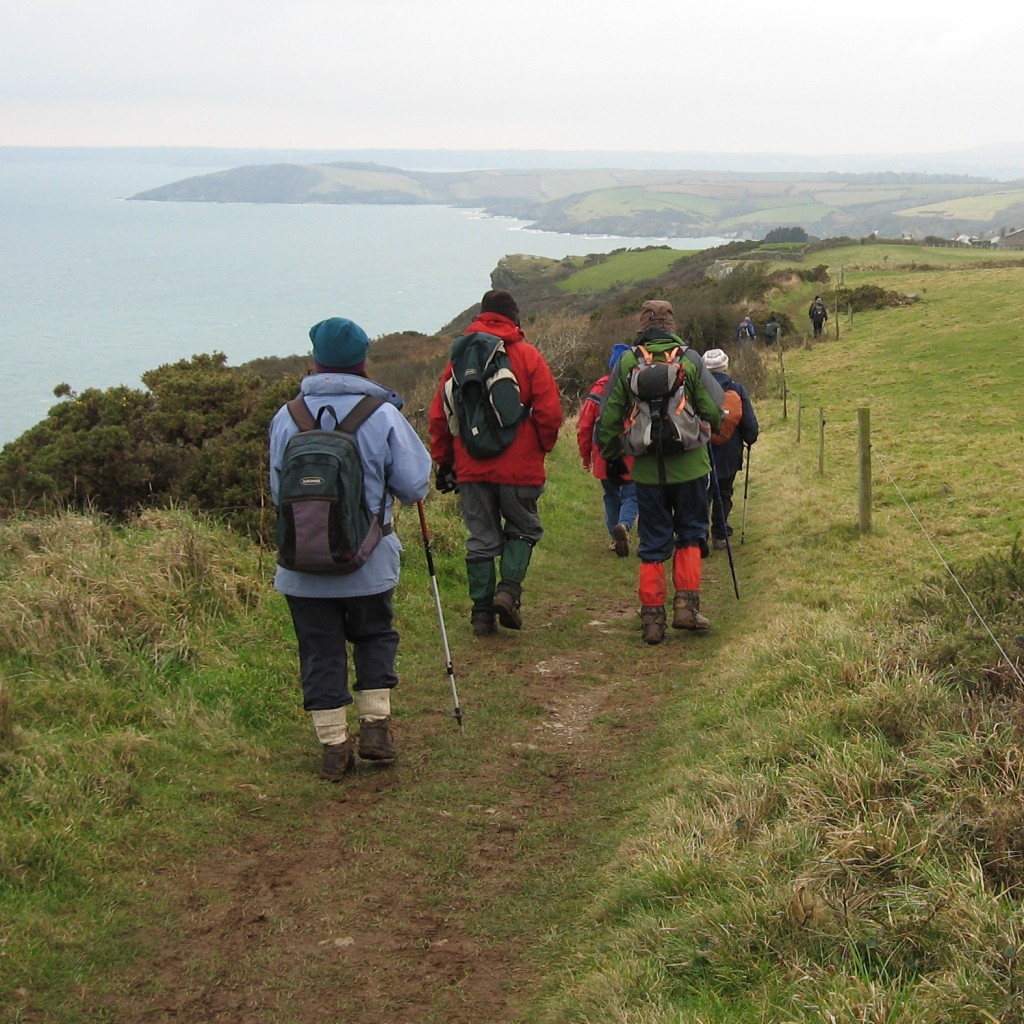
Close to Liskeard, you have 33 miles of the South West Coast Path stretching from Fowey to Cremyll, ever changing scenery, hidden coves to visit and plenty of villages along the way for that lunchtime pasty, ice cream or ‘swift half’ of Cornish Ale, before tackling the next stretch. And if the Cornish air and steep paths take it out of you a bit more than you anticipated, most stretches are covered by regular bus services so you won’t always have to walk back! Inland from the coast there are plenty of wooded valleys to explore, some dating back to the Domesday Book.
Both the Looe Valley and the Tamar Valley are accessible by train, and walks packs describing walks from the stations are available in TICs or on the Great Scenic Railways website. Bodmin Moor to the north of the region provides the keen walker with a chance to escape byways and highways and head out onto open moorland. Step back in time through 6000 years of history or just marvel at the rock formations.
Walks in Liskeard
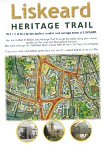 Liskeard Heritage Trail is a self-guided walk around the town which provides information about all the interesting buildings in the town and takes around 1.5 hours to complete. There are also two complementary trails for young children, one for the town and the other for the church. These guides are available free of charge from Stuart House and Liskeard TIC or you can download a PDF of Liskeard Heritage Trail here.
- Town Centre Open Spaces walk – a self-guided walk through Liskeard’s gardens, parks and the churchyard. This is an abridged version of the fascinating walk led by Brian Oldham (president of the Old Cornwall Society) which took place on the Liskeard Unlocked weekend. Full of interesting and little known facts about our town and stories of local residents connected with each place, the walk includes Westbourne Gardens, Lanchard Cemetery, Castle Park and more. Please allow for the walk to take approximately 1.5 hours. Click here for a PDF of the walk.
- The Henry Rice Trail identifies over one hundred buildings in Liskeard which were designed by Henry Rice in the 19th Century as a result of the wealth created by the boom in copper mining. The trail leaflet costs 50p and is available from Stuart House.
- Countryside Walks 1-5 are a range of leaflets detailing circular walks from the town into the picturesque surrounding countryside. Each walk begins from one of the granite plinths, positioned at various points around Liskeard. The walks vary in length from 2¼ to 4½ miles and are accompanied by a printed leaflet available from the town information centre or as a PDF download.
- Annual Beating the Bounds walk. Beating the Bounds is an ancient custom where members of the community walk around the town, usually led by the Mayor and Town Councillors, to familiarise themselves with the town boundaries. In Liskeard, it usually takes place in May and is well supported by the Town Council, the walk is around 11 miles and all are welcome.
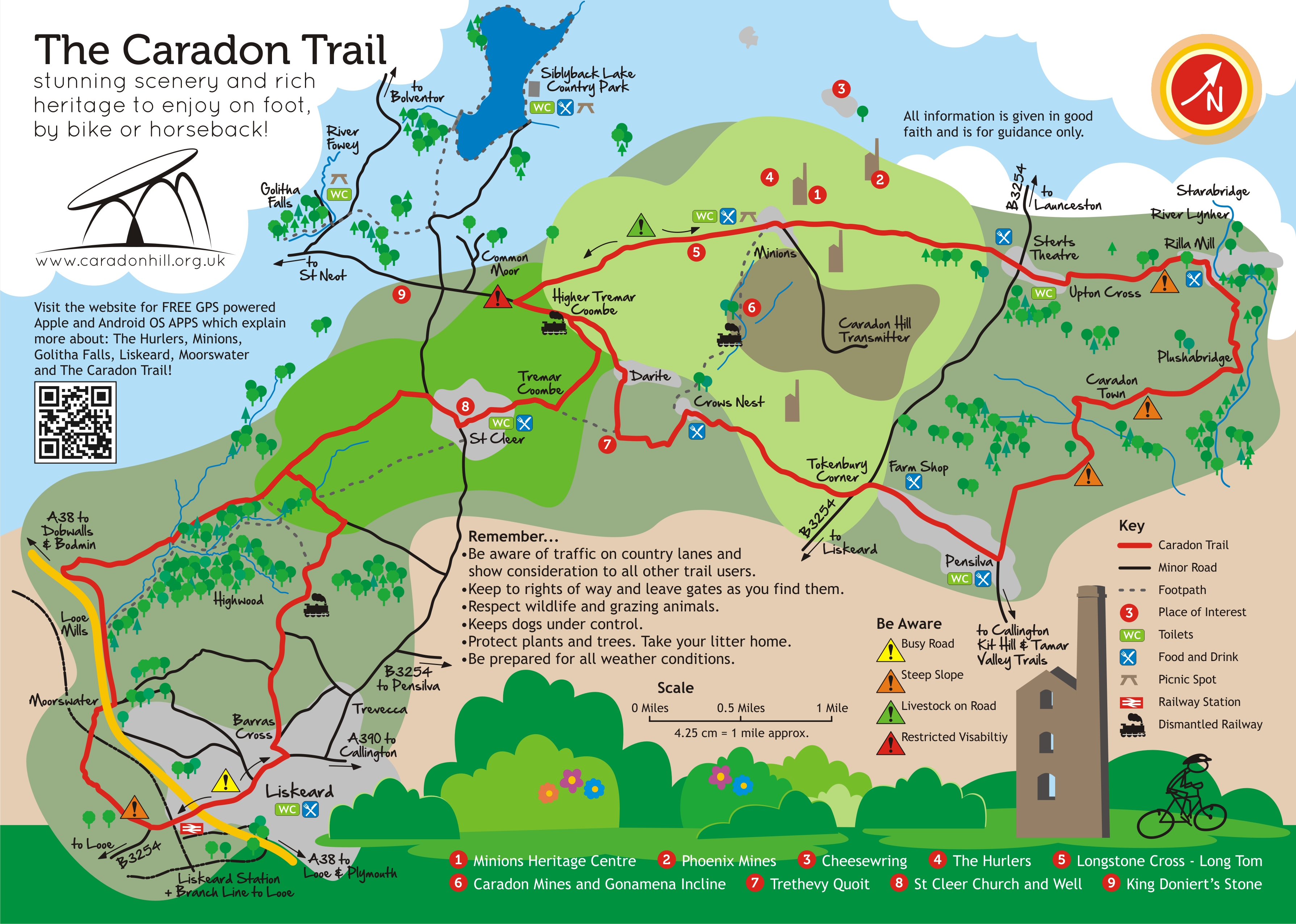
- The Caradon Trail links the town with Bodmin Moor. Enjoy the traditional Cornish lanes and hedgerows, the abundance of wildlife and the sweeping views across moorland and river valleys, while retracing the rich heritage of the area from Neolithic megaliths to 19th century industrial mining landscapes. Pick up a free leaflet from Liskeard Information Centre or Download the Caradon Trail Leaflet here
- The Smugglers Way is an existing 37 mile walk across Cornwall between the harbours of Boscastle & Looe. The walk takes place on footpaths, rights of way, quiet lanes etc between Looe and Boscastle. The walk is being upgraded as part of the ‘Moor to Sea Project’, and will be getting many new signposts to guide your way. In the meantime all information on this walk can be found at the Moor to Sea website
![]() You can find details of other walks in the Liskeard area on the iWalk Cornwall website. You can also download their useful app to follow guided walks around the county.
You can find details of other walks in the Liskeard area on the iWalk Cornwall website. You can also download their useful app to follow guided walks around the county.
Walking Bodmin Moor
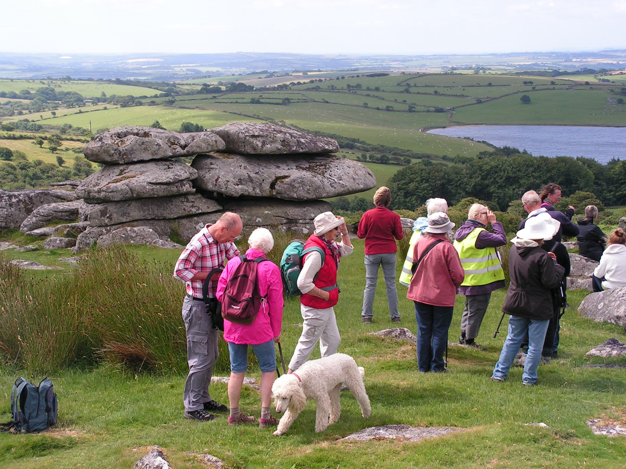
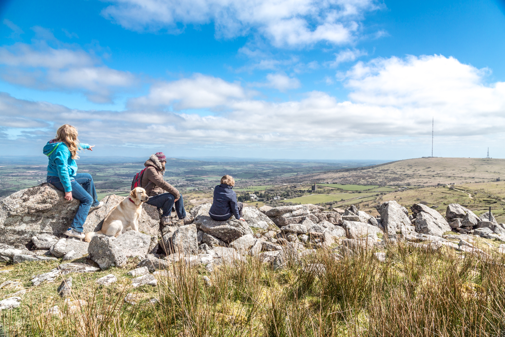
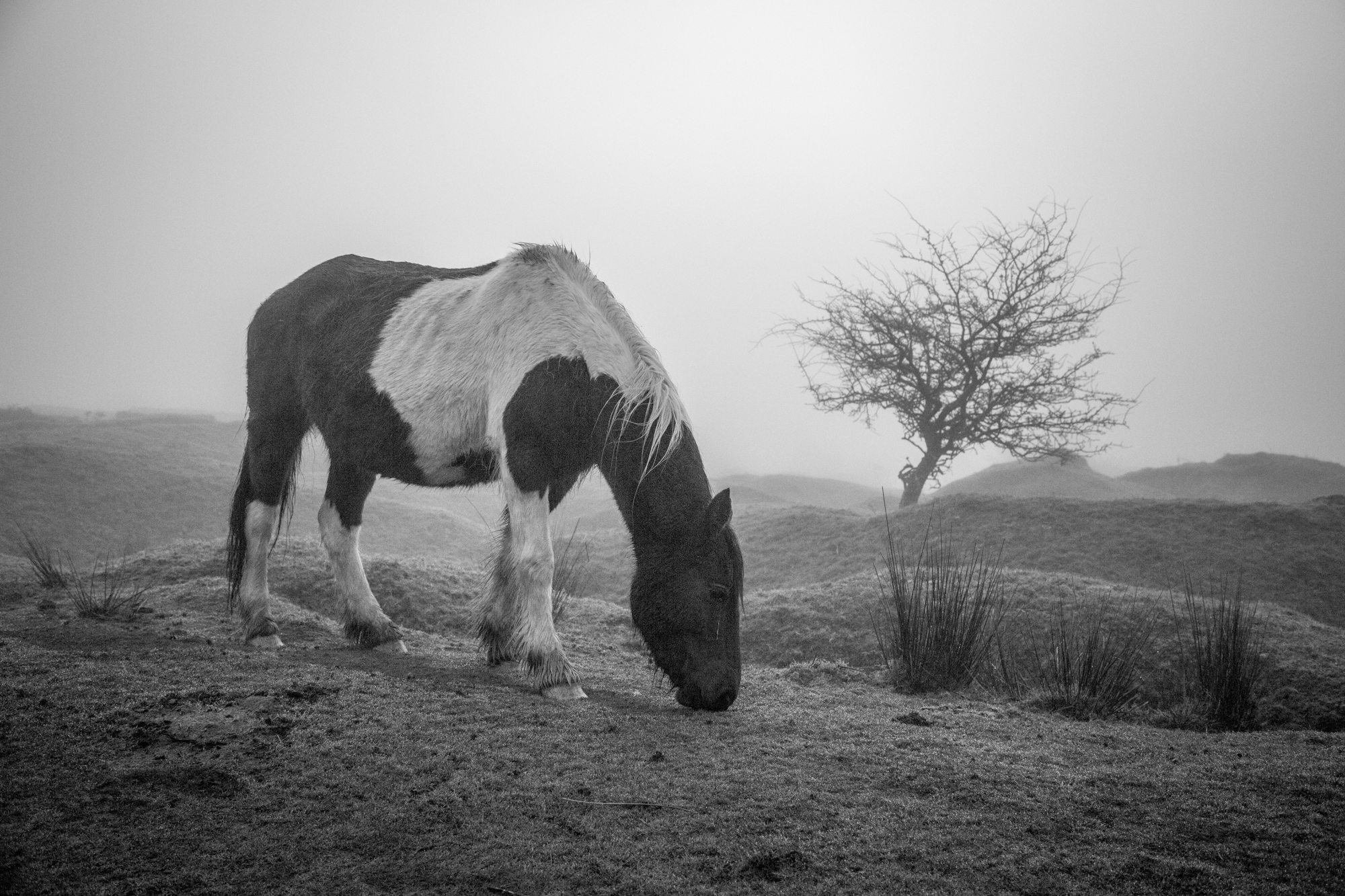
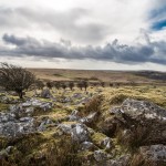
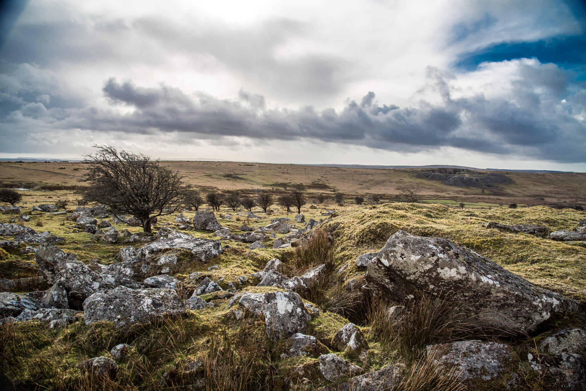
Paths lead out from the town (as do some bus routes) to the edge of Bodmin Moor with its wild and ancient upland features. Amongst these are extensive remains of the great era of Cornish mines, chimney stacks, engine houses, granite quarries, and the remains of associated buildings. Alternatively there are walks out from Caradon Hill to the many tors in the middle of the moor including the high points of Brown Willy and Roughtor.
-
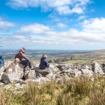
- Taking in the view
-
- Bodmin Moor’s Spectacular Skies
-

- The Hurlers

Local Blue Badge Guide, Mark Camp of Walkaboutwest, has written several walking books including five covering Bodmin Moor and one volume of short walks between Looe and Truro. These can be purchased in both Liskeard and Looe Information Centres. Mark created the Copper Trail, a 60 mile long distance route that encircles Bodmin Moor starting at Minions, just to the north of Liskeard.
Countryside Walks
A selection of walks from the town out into the beautiful surrounding countryside.
Accessible Walks
It is not always easy to find somewhere to go for a walk if you are a pushing a wheelchair, a buggy or are just a little unsteady on your feet, however there are some fantastic accessible walks nearby.
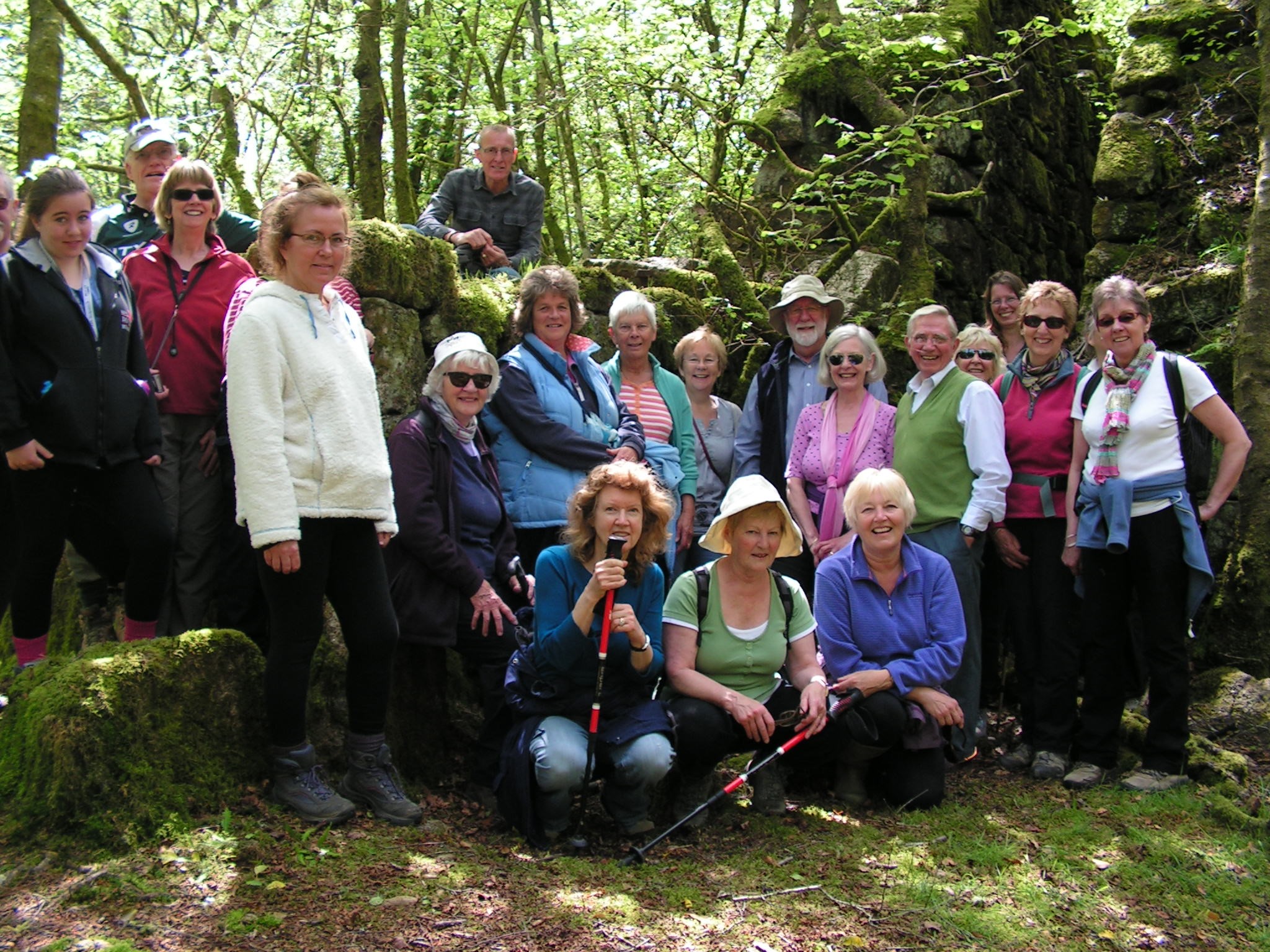
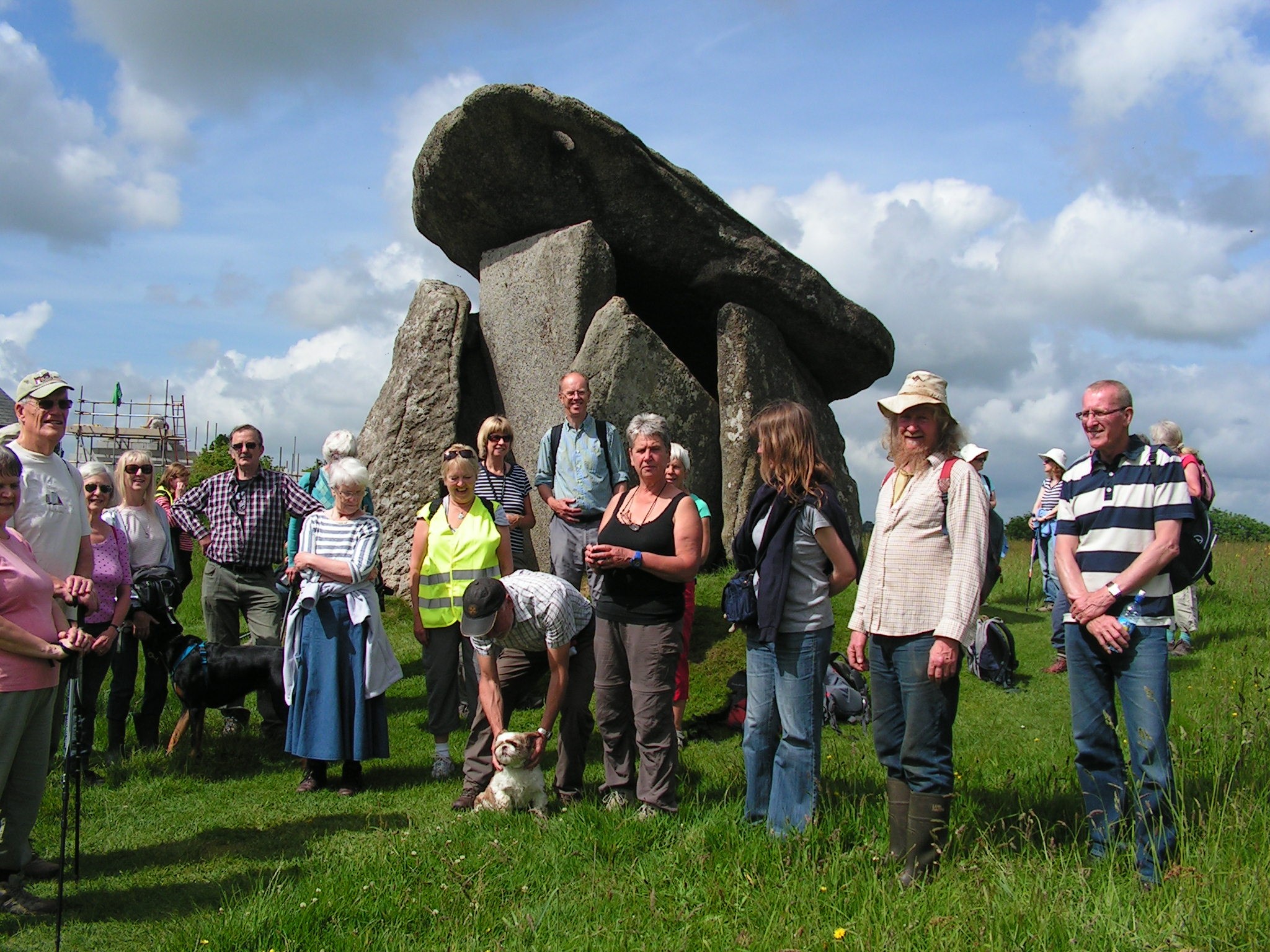
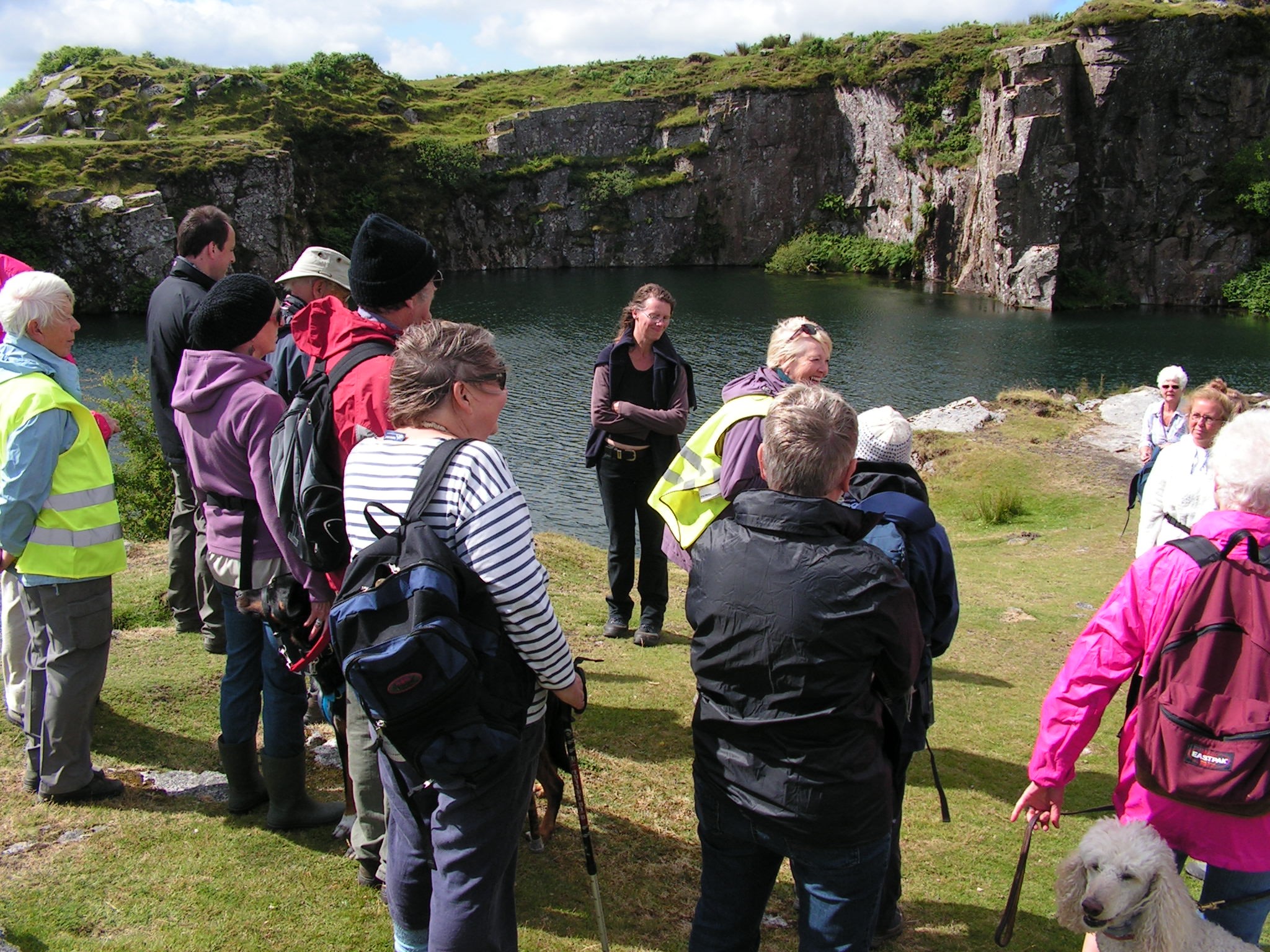
Recent Walks in the Area
News about recent walks with some of our local walking groups – may give you some inspiration
Walking Guides From the TIC
Free guides
- Liskeard Heritage Trail
- Countryside Circular Walks 1-5
- The Caradon Trail
- Walks from the Railway – A Walk around St Germans
Books for sale
- Six Walks on and Around Bodmin Moor – volume 1. £2.95
- The Copper Trail: a 60 mile circular trail around Bodmin Moor split into 6 walks that should each be possible to do in a day. £4.95
- The Saint’s Way: A collection of route cards covering the ancient Saint’s Way from Padstow to Fowey. £4.99
- Moors, Hills and Tors: Discover Bodmin Moor on Foot – Volume One, the Southern Moors. £5.95. – Volume Two, The Northern Moors £5.95
- The Cornish Way Walking and Cycling Guide: Over 200 miles of inter-linking trails connecting Bude to Land’s End in a collection of individual trail maps. 50p
- Ordnance Survey Explorer Map 109: Much of Bodmin Moor is open access land where you are free to roam but on other areas you will need to stick to footpaths, so you’re advised to carry a copy either of this paper version or the corresponding around & about map (see below). 1:25,000 scale. £12.99
- Around & About Maps – Easy to read, laminated 1:16,000 scale OS maps of the local area, ten different titles available. £4.95 each, XL maps of North and South moors £5.95 each. We love these maps, they are both waterproof and pocket sized, perfect for taking out on a walk
- South West Coastal Walking & Cycling Map – Plymouth to Fowey – rain resistant map 1:40,000 scale covering the coast from Plymouth to Fowey and a few miles inland (up to St Keyne and Menheniot) at the same scale as a Landranger OS map. £4.99
- A Cornish Celtic Way: a 125 mile route from St Germans to St Michael’s Mount following in the footsteps of Celtic saints. £15
- Top Walks in East Cornwall: 13 circular walks through stunning Cornish scenery from Torpoint to Fowey and Padstow to Bude and everywhere in between. £9.99
- Boot Up Bodmin Moor: 10 walks under 5 miles around the moor using public footpaths and quiet roads. £4.99
- Best Walks in Cornwall, Walks Around Cornwall’s Mining: includes walks around Minions and Cotehele as well as 9 walks further west.
Walking the South West Coast Path
The links to the coast, either on foot or via the picturesque Looe line, lead walkers to the South West Coast Path. The Cornish part of this is famous for its spectacular views and its demanding ascents and descents. The path follows the entire coastline of this peninsula county, including Land’s End. Looe is just 8 miles from Liskeard and 20 minutes drive. There’s an hourly bus service and the excellent Looe Valley branch line, one of the most beautiful rail journeys in the UK. From Looe many people take the coast path west via Talland Bay to the historic smuggling village of Polperro (about 5 miles). From there, you can take the bus back to Looe or if you are feeling energetic you can return back the way you came – after a suitable refreshment stop of course. >> More info at www.southwestcoastpath.com
Trails from the Track
Trails From the Track are a series of walks near local railway lines. There are walks based around the Looe Valley (Liskeard to Looe), Tamar Valley (Plymouth to Gunnislake) and Maritime (Truro to Falmouth) branch lines. Liskeard is the starting point for the Looe Valley Line and it’s just 30 minutes by train to Plymouth to pick up the Tamar Valley Line and 50 minutes by train to Truro for the Maritime line.
Further walks
- Two Valleys This walk starts and ends outside the London Inn in St Neot. It is a walk of pleasant contrasts – lanes winding through rich farmland, open moorland and wooded river valleys. An ideal walk for a sunny afternoon, it is clearly marked on OS Explorer map 109
- Accessible Walks It is not always easy to find somewhere to go for a walk if you are a pushing a wheelchair, a buggy or are just a little unsteady on your feet, however there are some fantastic accessible walks nearby. Click here to download our leaflet, here are just a few:
- Siblyback Lake – about 6 miles north of Liskeard near the village of St Cleer Siblyback is a reservoir with a host of water based activities under the care of South West Lakes Trust. The 3.5 mile lakeside path has recently been totally overhauled and a well surfaced, level pathway now surrounds the lake, giving access to wheelchairs and buggies for its full length. There is also an excellent café, Olive and Co, for refreshments and a playground. www.southwestlakes.co.uk/location/siblyback-lake/
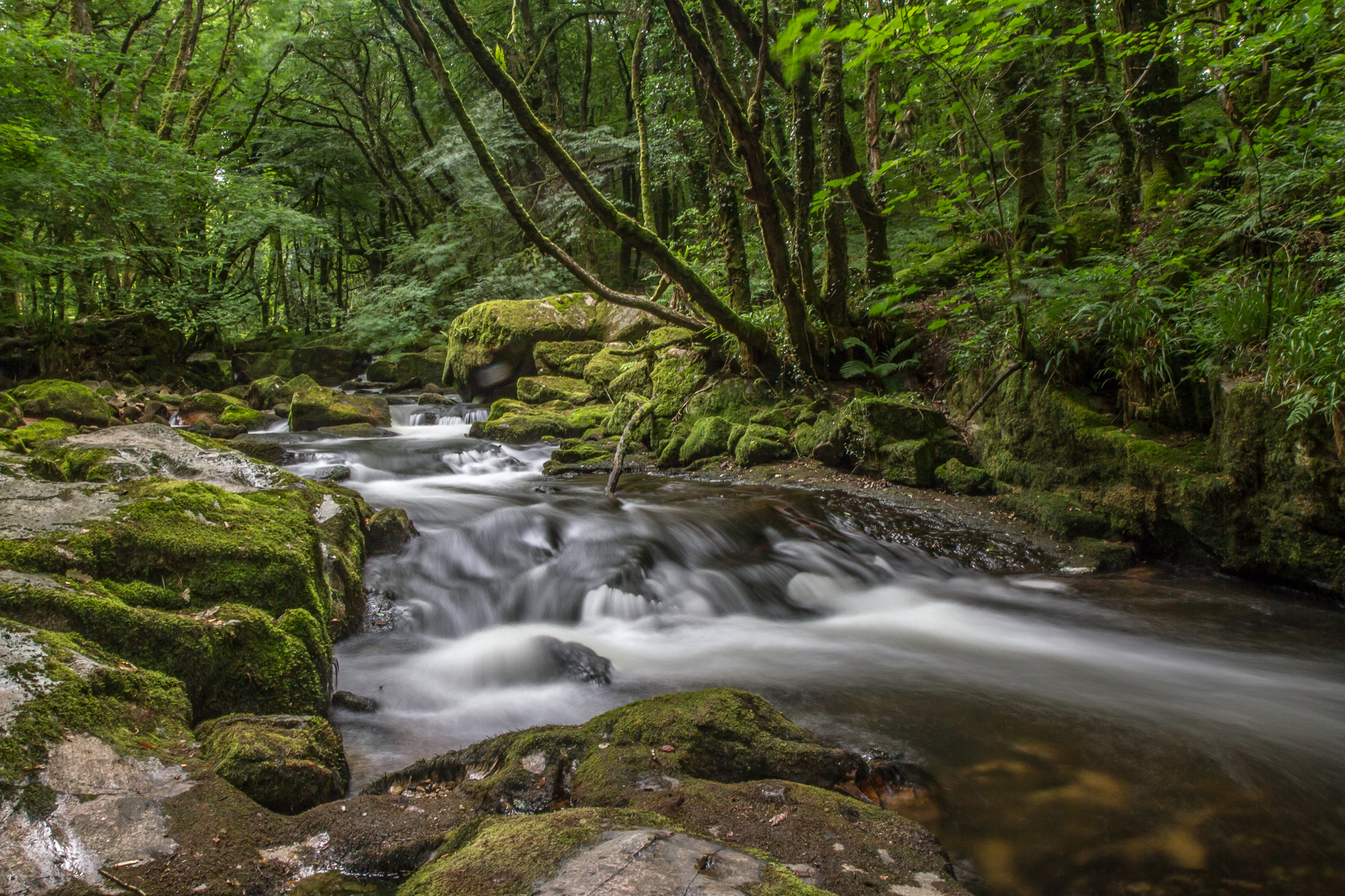
- Golitha Falls – Near the southern end of the road leading to Jamaica Inn. There is ample parking across the lane from the woodland path which follows this stretch of the beautiful Fowey River. The fist 1/2 mile of the woodland walk up to the bridge is fairly level and wheelchair friendly, although can get muddy. At this point, the left hand trail is not recommended but the right hand track is passable with some assistance to navigate tree roots and a small brook. There are some steps at the very end but you can retrace your steps back to the car park to avoid them. You will find Inkie’s Smokehouse BBQ, in the car park along with toilets.
- Seaton Valley Countryside Park – A treasure trove of nature and wildlife, the Seaton Valley runs inland from the sea at Seaton (Seythin in Cornish).Starting from the pay & display car park this is a 2 mile there and back trail. The level well paved walk follows the Seaton River through a wooded valley, passing a dragonfly pond en-route with plenty of benches for stops along the way. After a mile the path becomes rougher and less accessible as it continues alongside the river until it reaches the village of Hessenford where there is a pub with excellent food. There are toilets, a beach café, a kids play area, sensory garden and an outdoor gym at Seaton
- Cardinham Woods – Cardinham Woods on the outskirts of Bodmin has a variety of trails for walking and cycling of various difficulties. Lady Vale Trail is a 1.5 mile circular route on a level paved pathway which follows the river upstream to Lady Vale Bridge, which takes its name from the Chapel of Our Lady that stood beside the river during the 12th Century. Once you have burnt off some energy you can recharge at the Woods Café which has wonderful homemade food. www.forestry.gov.uk/cardinham
- Lanhydrock House – A fantastic 17th-Century country house and estate owned by the National Trust. From Bodmin Parkway Station there is a paved carriageway up to the house which was used by the Robartes family when they used the (then) new fangled train. This is a delightful 1.75 mile stroll along the drive which was planted with specimen trees. There is a tea/coffee shop with snacks behind the main house and in the signal box at the station. www.nationaltrust.org.uk/lanhydrock
Useful walking resources
Traveline – useful for planning journeys on public transport.
Liskeard Hiking Club – the group arranges twice monthly circular walks of 5-10 miles between April and October, all accessible via public transport from Liskeard.
Ramblers Association (Cornwall) – The Cornish branch organises a host of walks of varying length, some more demanding than others, all over the County. The Caradon group host several walks each month and visitors are always welcome to join in.
Countryside Code – Please adhere to the Countryside Code when you’re out walking.